Community Farm
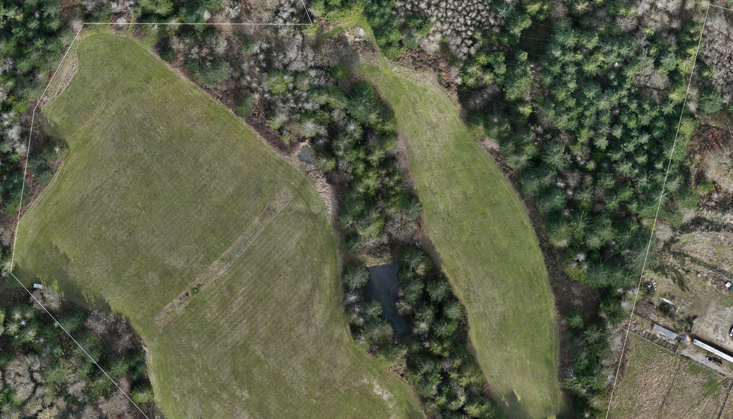
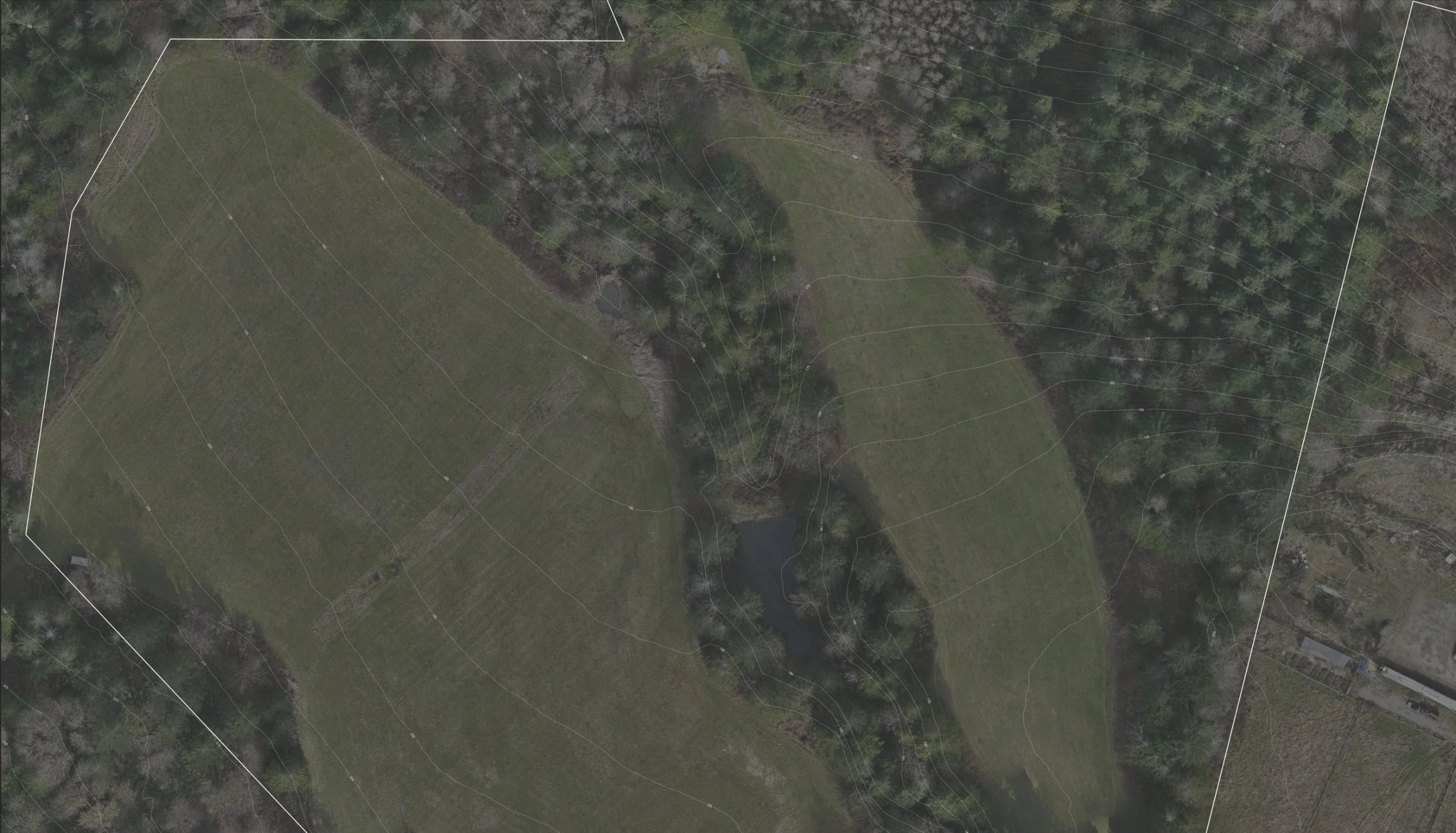
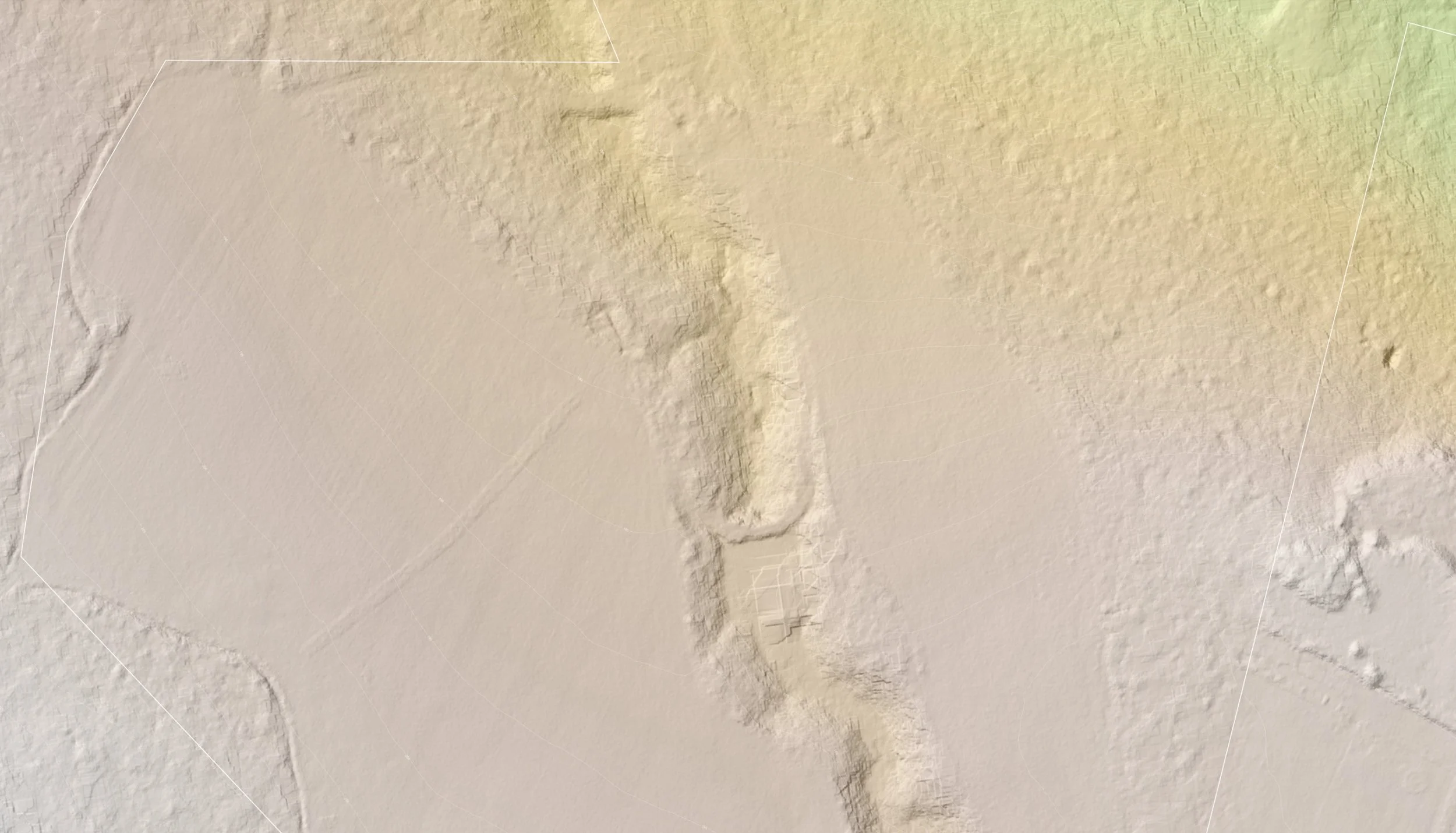
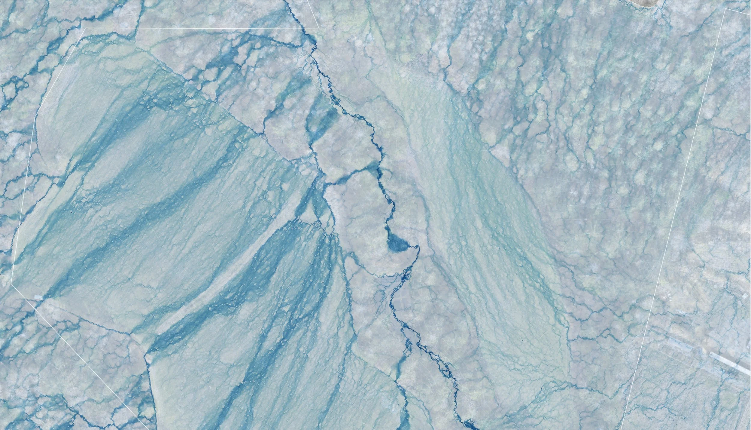
These map layers were created for the Salt Spring Island Farmland Trust in preperation for a water management strategy plan to address drainage issues.
Services Provided: Drone (UAV) data capture & GIS processing
Location: Salt Spring Island
Year: Spring 2026