
Our Services
Overview
Here are the services we offer at a glance, with more details below.
-
Professional guidance, property assessments, and strategic advice tailored to your land's potential and project goals.
Email or phone call: Let’s have a chat about your project & arrange a time for a site visit.
Site visit: We’ll walk the landscape to discuss project goals & explore site possibilities.
Follow-up resources & action items: Review our resource recommendations & take the reins from here or move forward with our design & mapping services.
-
We develop holistic design plans that blend productive systems with ecological health, ensuring every proposed element has a purpose before any work unfolds.
Concept planning: Initial broad stoke sketch of proposed land use zones & infrastructure.
Detailed drawings: Revised & refined plans for your site fuel further discussion.
Actionable design plans: Field ready plan drawings to get you project off the ground.
-
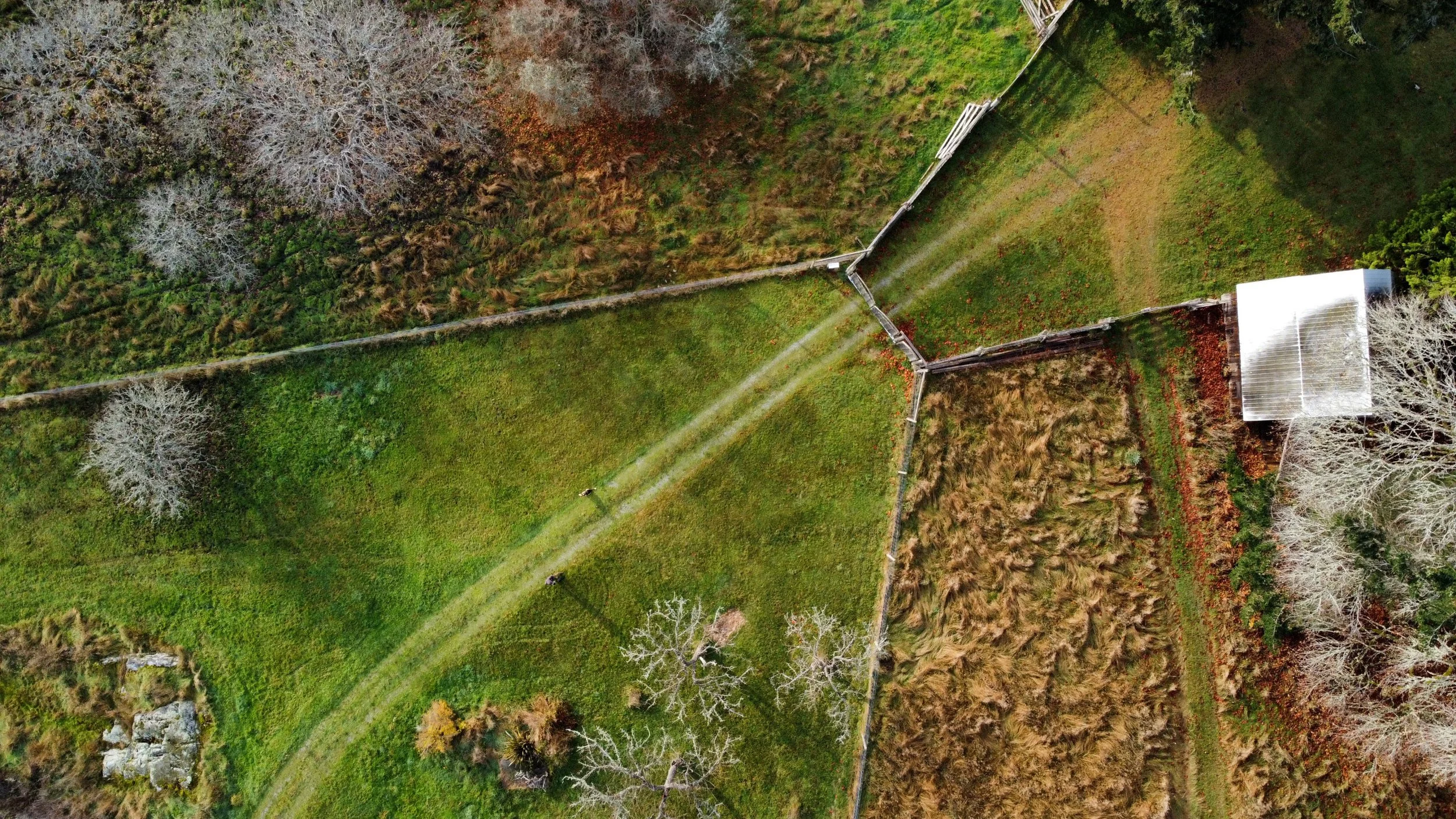
Our commercial-grade drones capture high-resolution imagery and topographic data that we process & export as geographically accurate, CAD friendly files.
Orthophoto Imagery
Topographic Data Capture
Site Analysis Base Maps
Stockpile Measurements
Project Tracking
Scroll down on this page for more information about our mapping services and packages.
-
Expert implementation and construction oversight of your project through to establishment.
Site prep & clearing
Excavation & grading
Water management & collection
Irrigation
Access roads
Seeding & planting
Fencing
Fertility & soil health adjustments
Guidance to establishment
Water Retention Earthworks
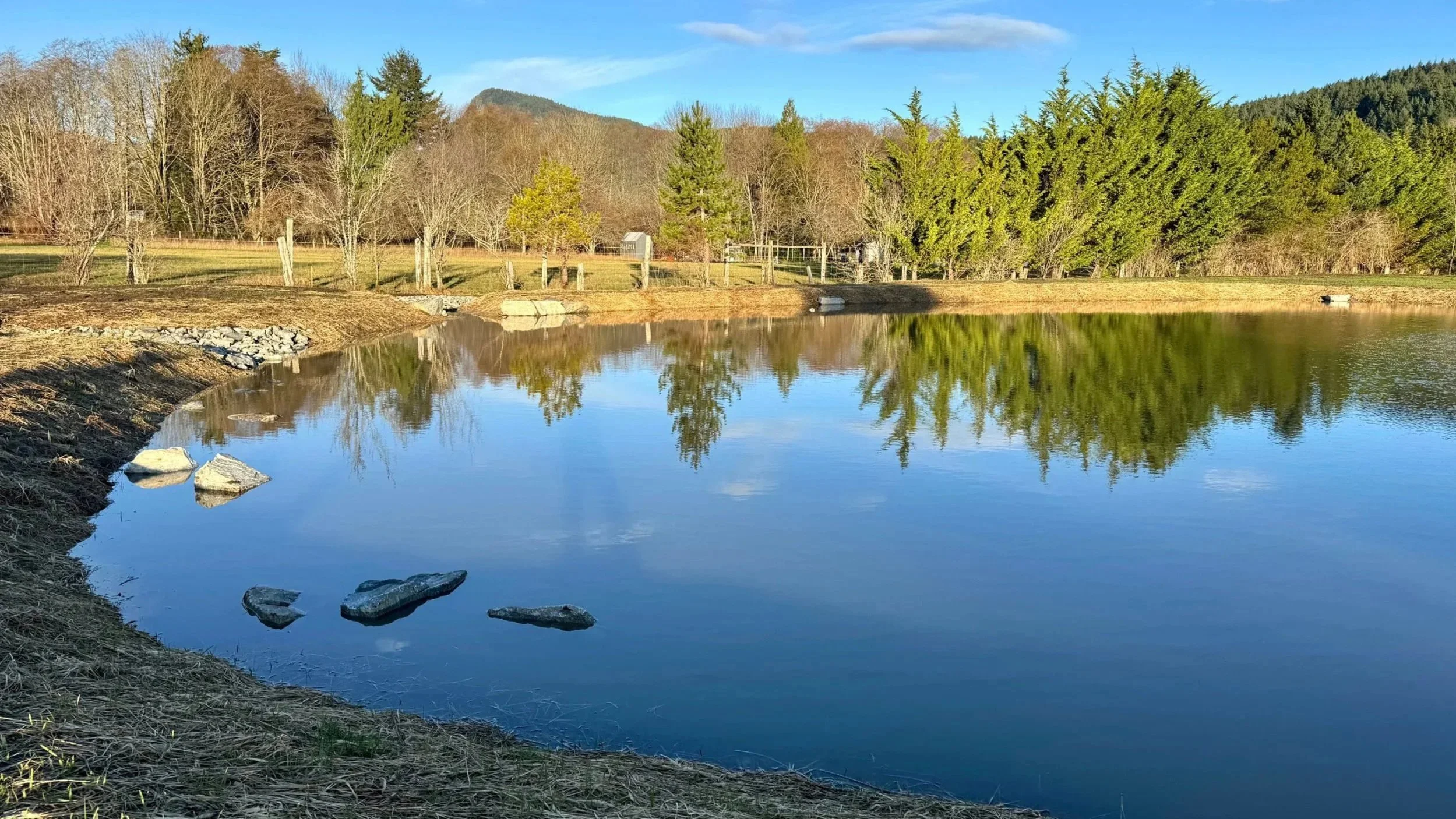
RETENTION PONDS
Multi-purpose ponds for hydrating landscapes, emergency water supply & irrigation.
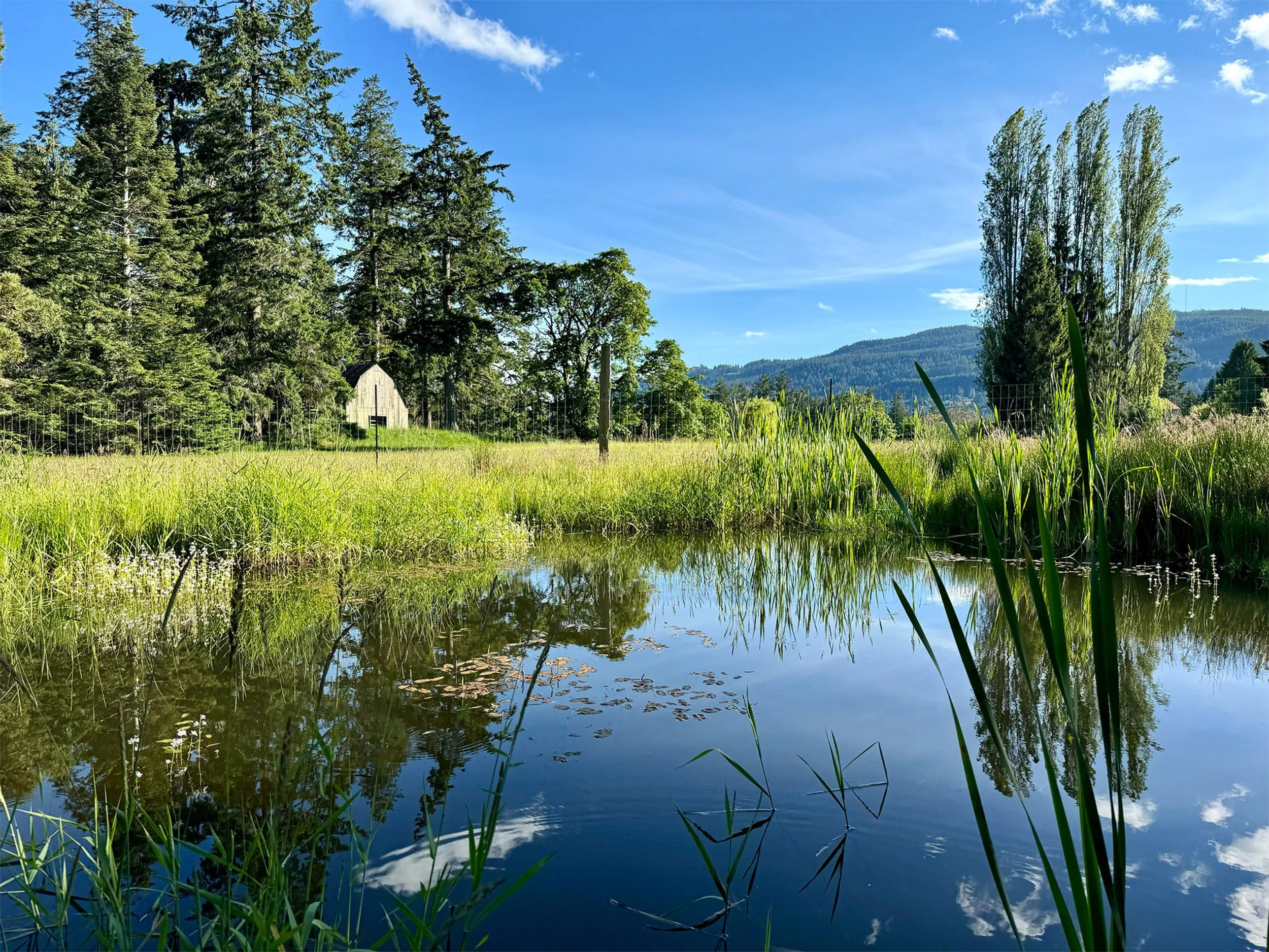
HABITAT PONDS
While nearly all ponds are ‘habitat ponds’ we can ensure ample wildlife support with a variety of water depths & subsurface terraces for aquatic plant establishment.
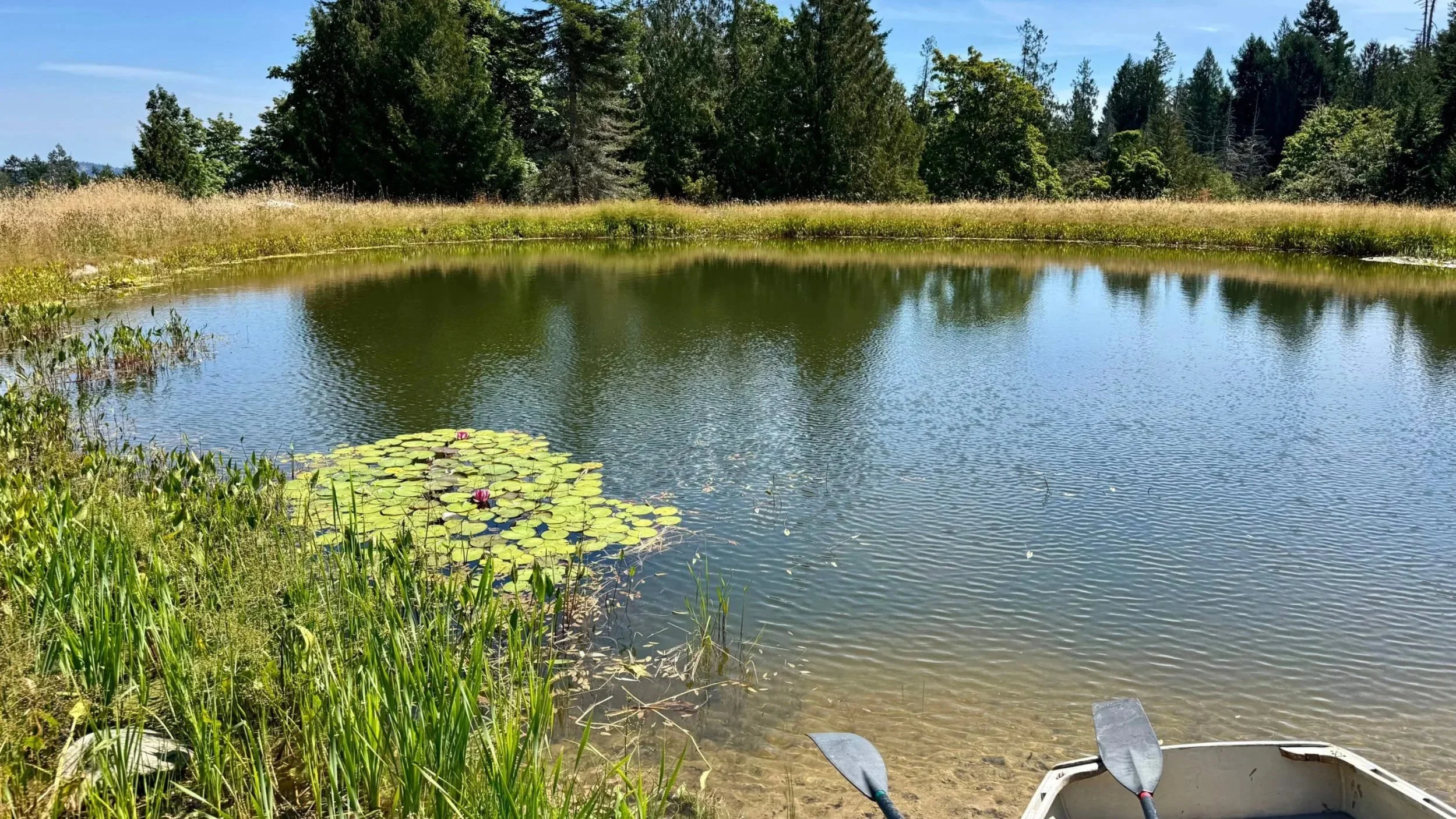
RECREATION PONDS
Throw in a floating dock & many of our ponds make for some great swimming!
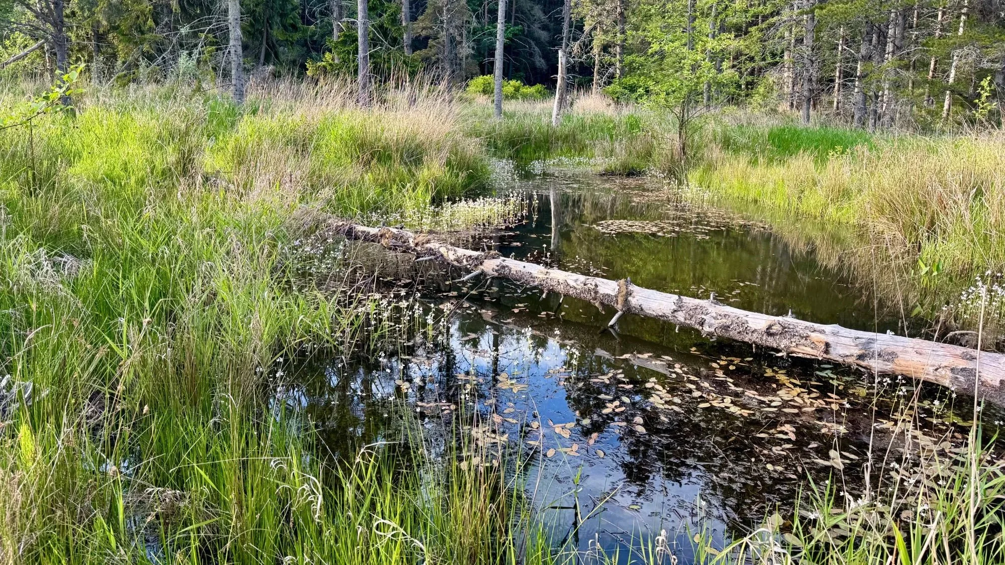
CONSTRUCTED WETLANDS
Essentially a shallow pond; wetlands support a multitude of native & endangered species & keep your landscapes hydrated.
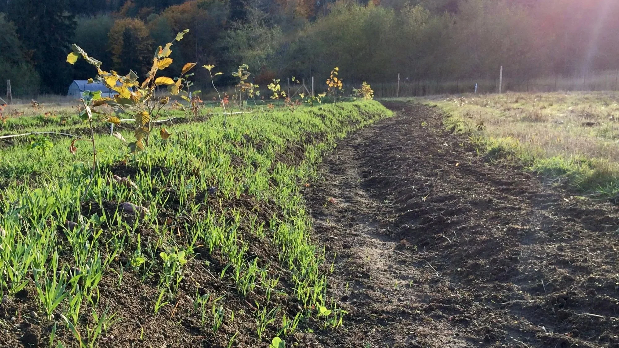
WATER CONSERVATION CHANNELS
Capture, slow & sink stormwater runoff to rehydrate droughty ridgelines & mitigate erosion.
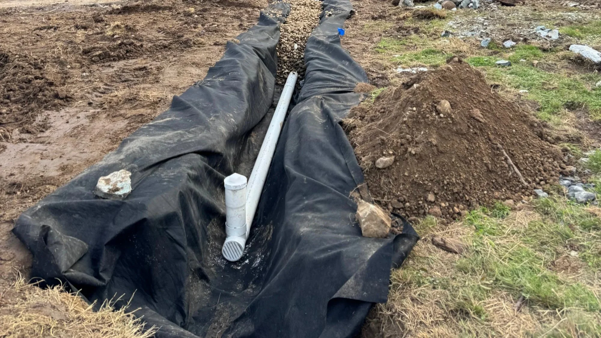
STRATEGIC DRAINAGE
Too much water in the wrong place can be addressed with well placed open & closed drainage systems including swales, french drains & catch basins.
Regenerative Plant Systems
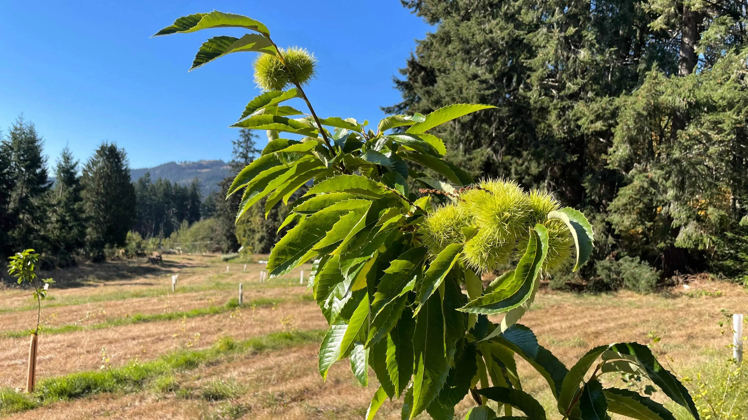
MIXED ORCHARDS
Utilizing agroforestry & syntropic techniques these systems provide multi-yield resiliency & ecological benefits.
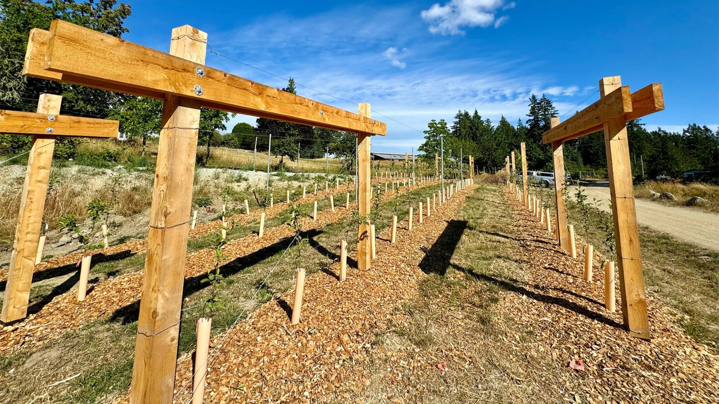
HIGH-DENSITY ORCHARDS
Where ease of maintenance & yields are crucial we can install commercial grade production systems designed with water management, soil heath & ecology in mind.
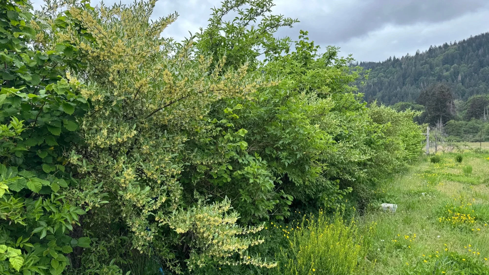
MULTI-FUNCTIONAL HEDGEROWS
Privacy, windbreak, fuelwood, forage, livestock fodder & habitat are just a few things our tailored hedgerows can offer.
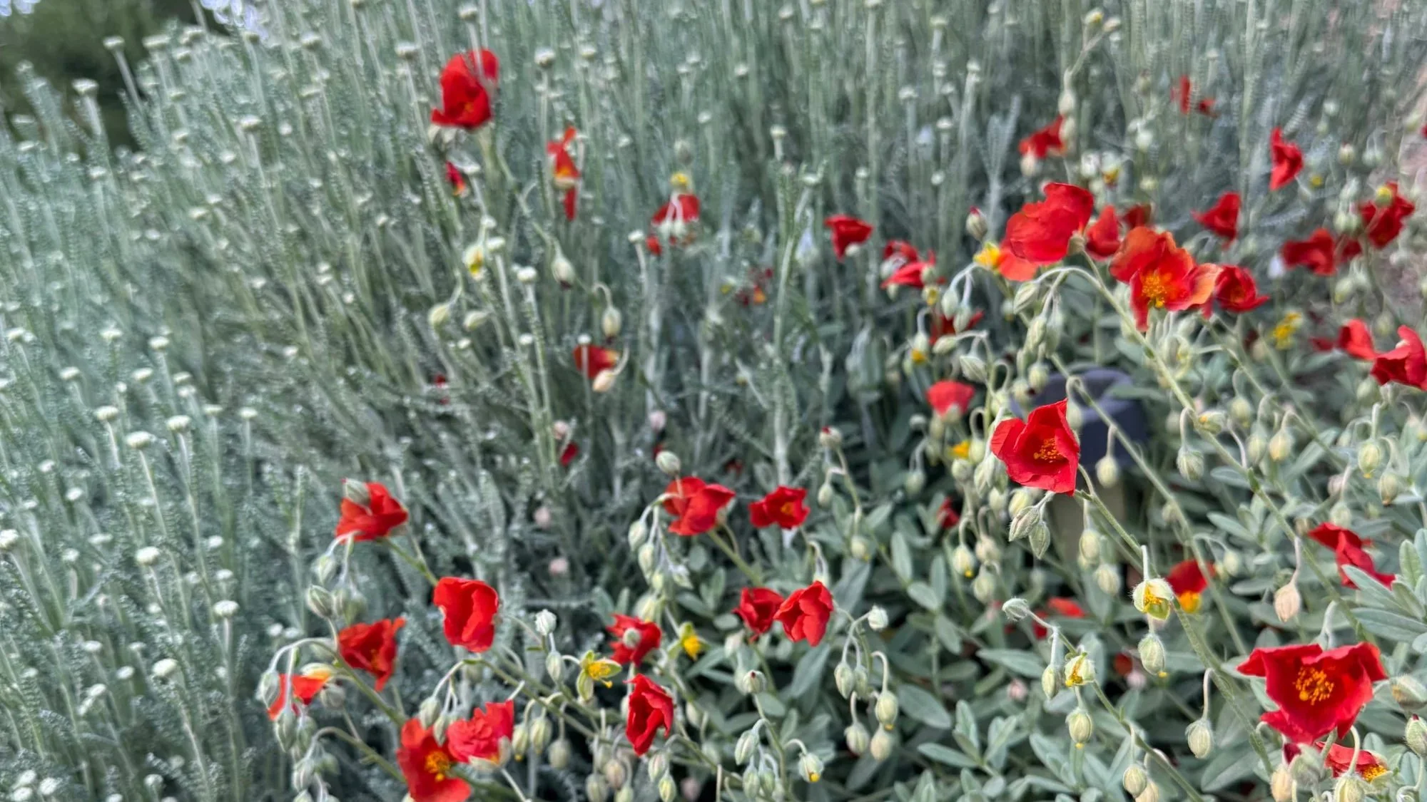
XERISCAPE GARDENS
Where water & time is scarce these low-maintenance gardens still provide pleasing & pollinator friendly landscaping.
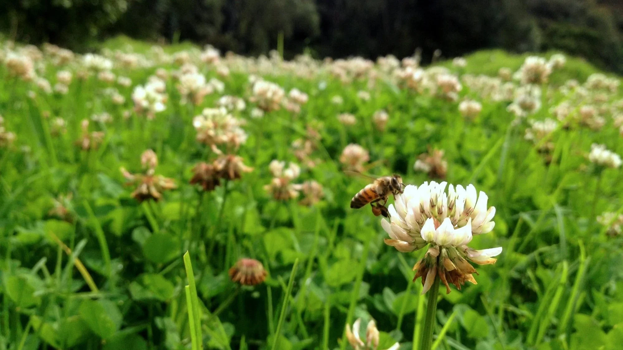
MEADOWSCAPES & LAWN ALTERNATIVES
Not all lawns are created equal. They can be ecologically rich, require minimal water AND provide summer recreation. It’s all in the species selection & management. We’re here to help.
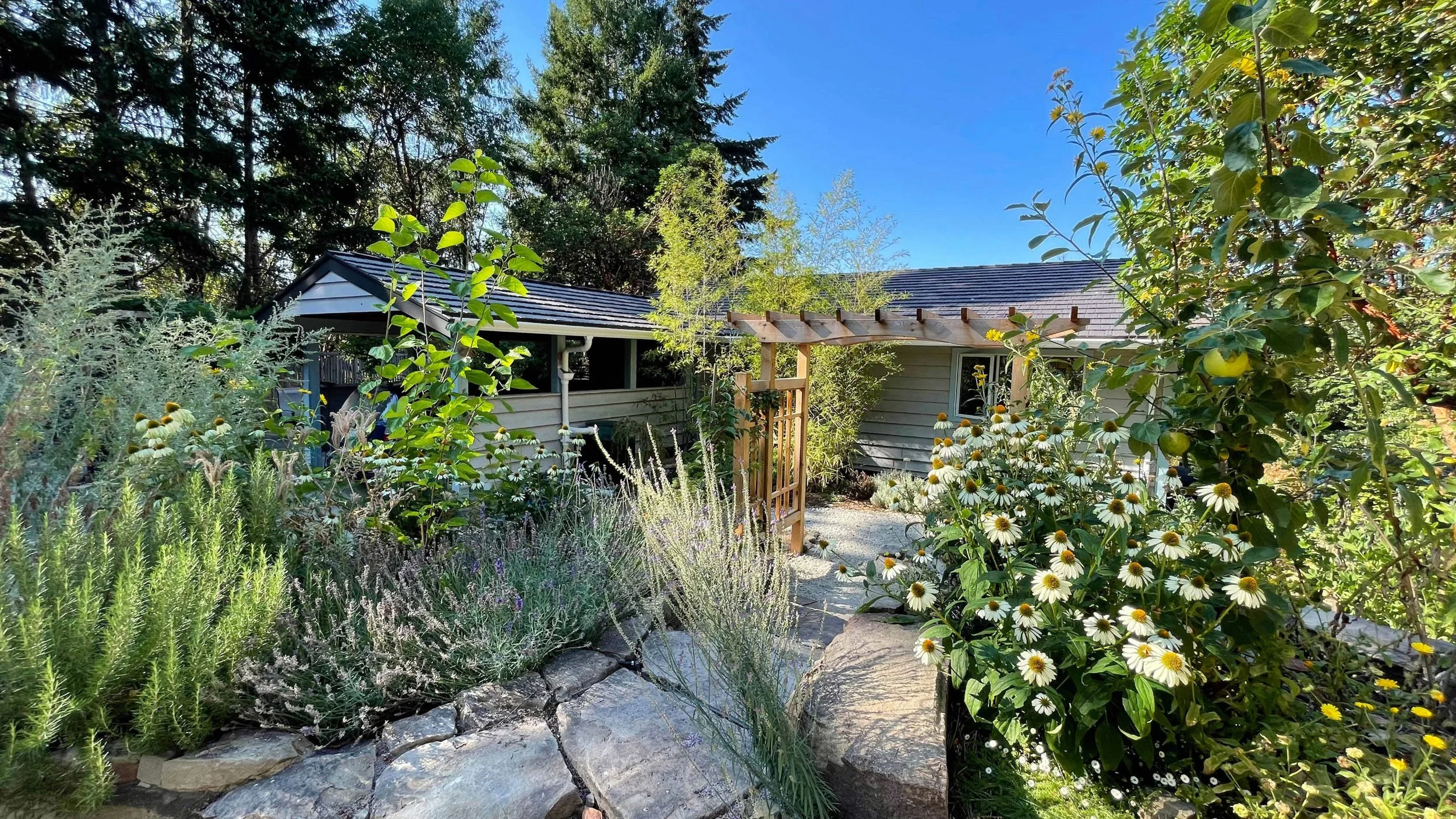
EDIBLE LANDSCAPING
You can have aesthetically pleasing landscaping & eat it to.
Geospatial Mapping
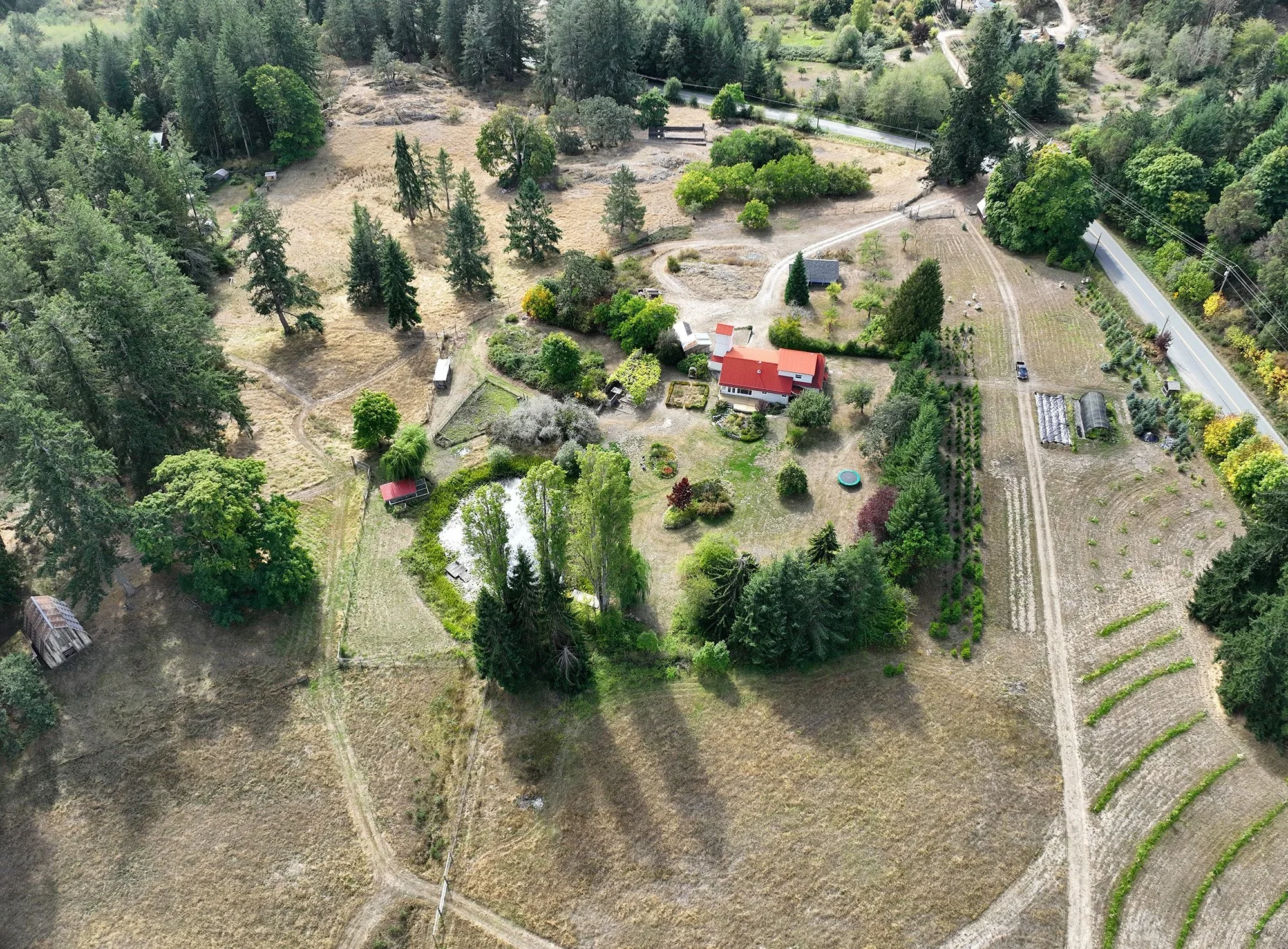
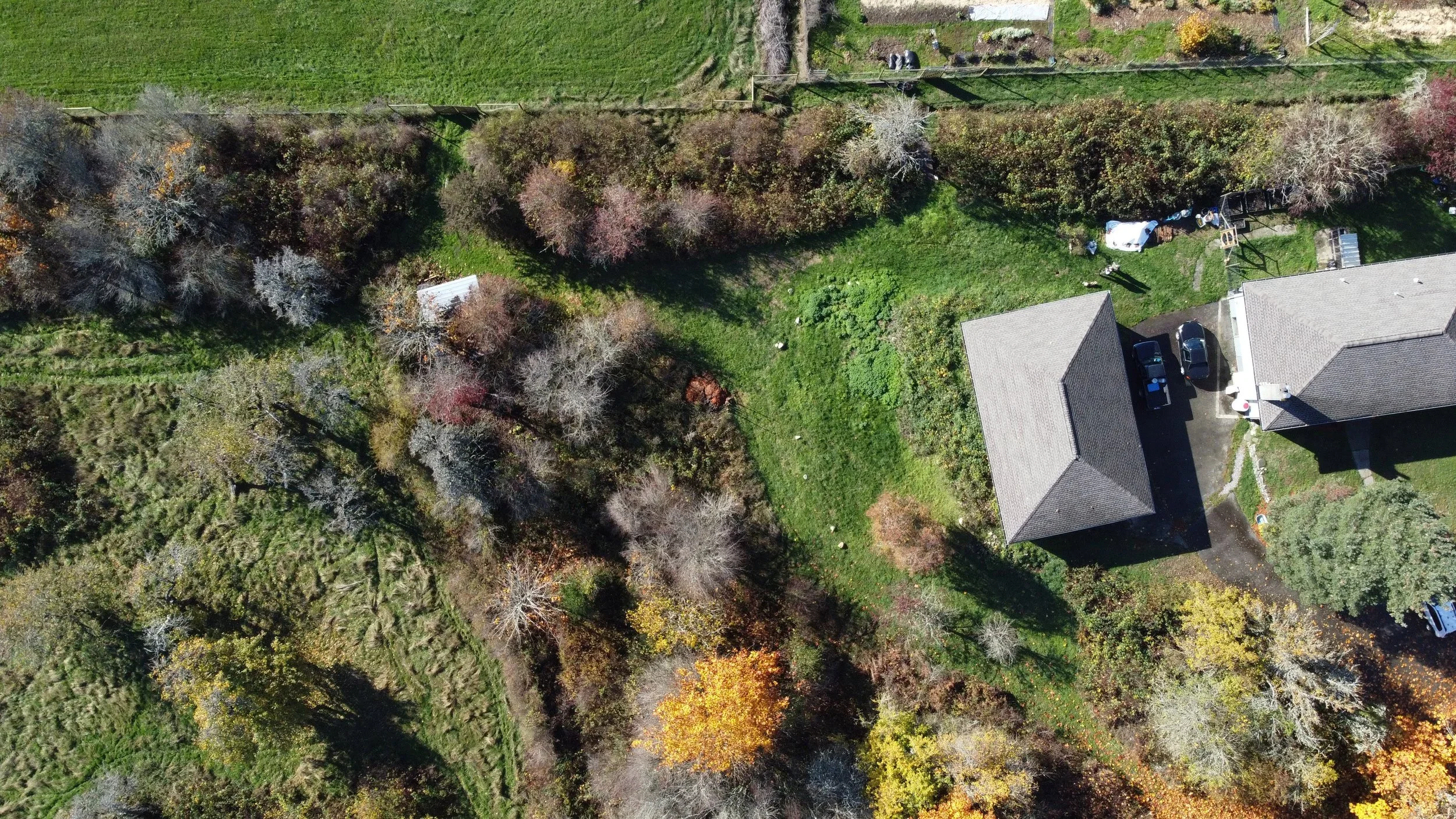
HIGH RESOLUTION IMAGERY
Drone imagery enables a crystal clear ‘birds eye view’ for detailed site analysis and project tracking.
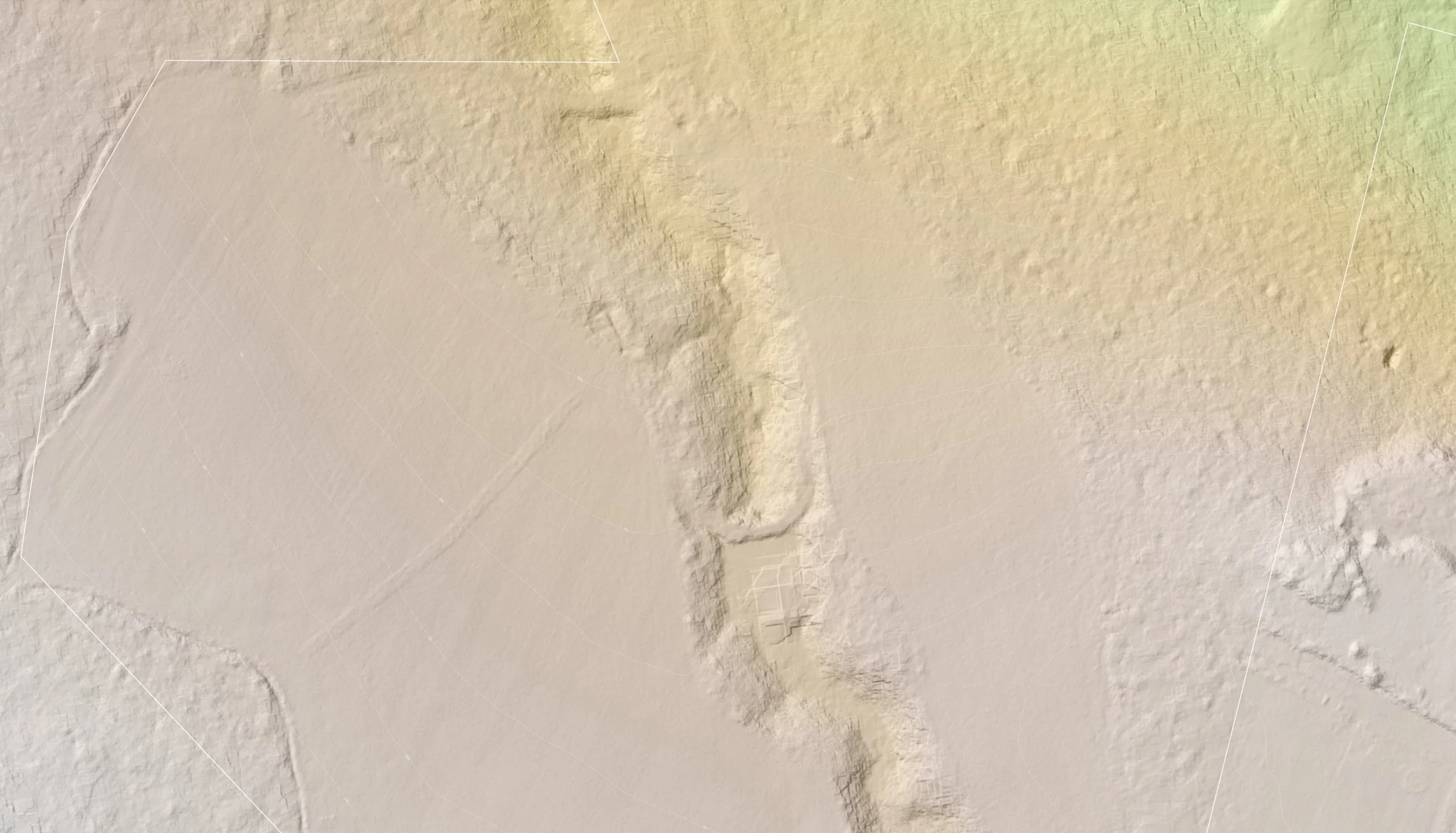
TOPOGRAPHIC DATA CAPTURE
A combination of powerful hardware & software allows us to extract high resolution elevation data from geo-referenced imagery.
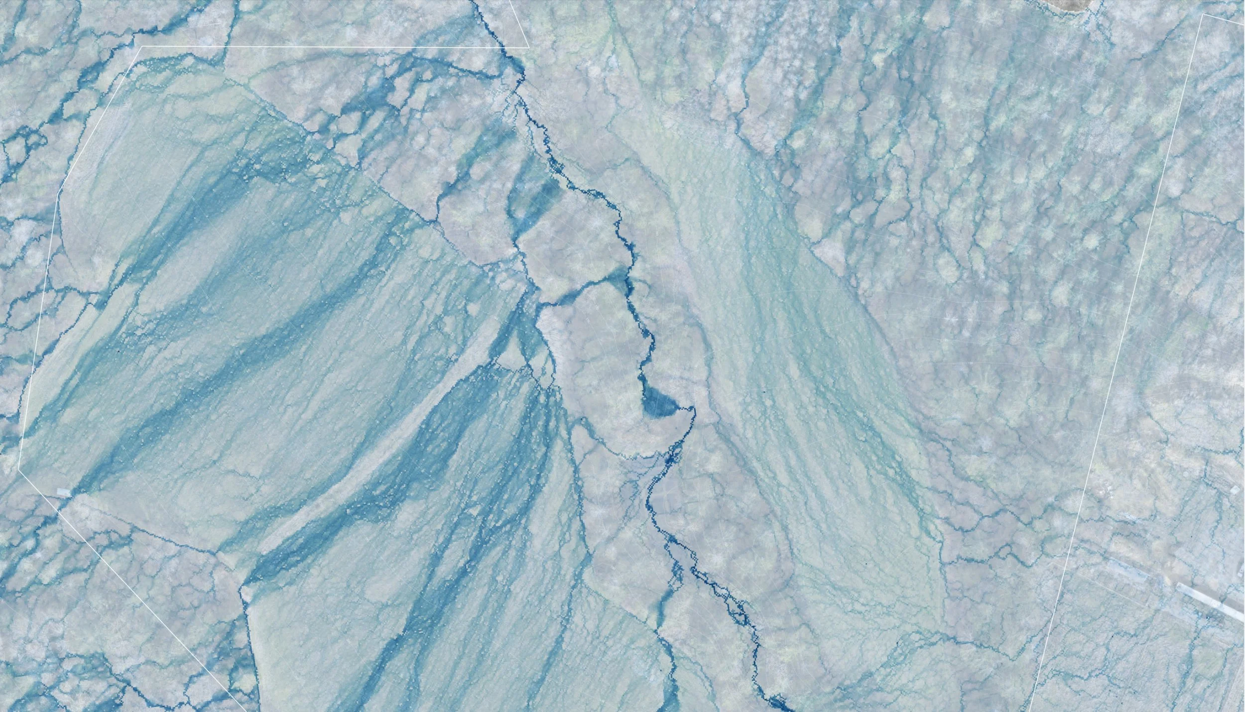
DETAILED SITE ANALYSIS
Gain unique perspectives with a variety of visual ‘base map’ models including terrain, water flow patterns, potential solar exposure & slope severity.
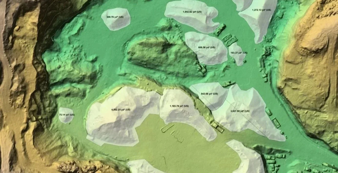
STOCKPILE MEASUREMENTS
Accurate stockpile measurements aid in decision making & project tracking.
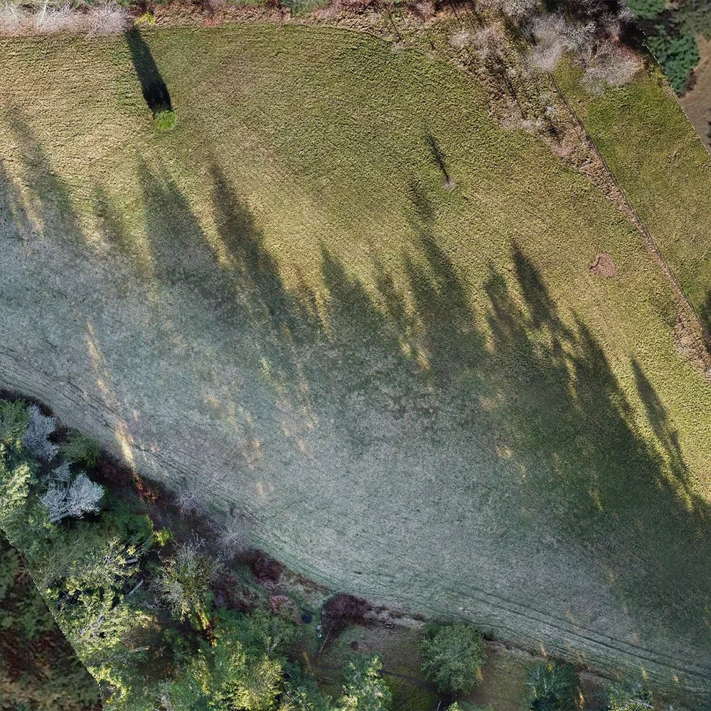
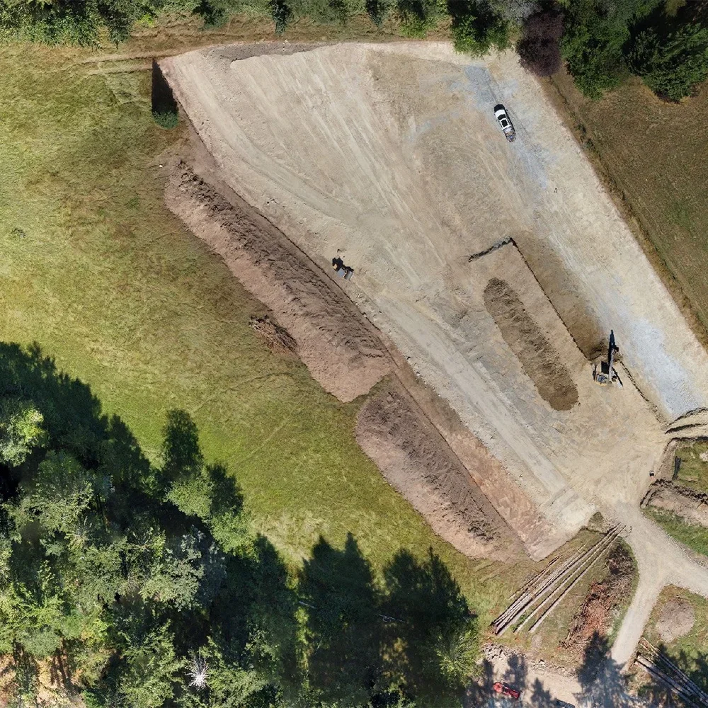
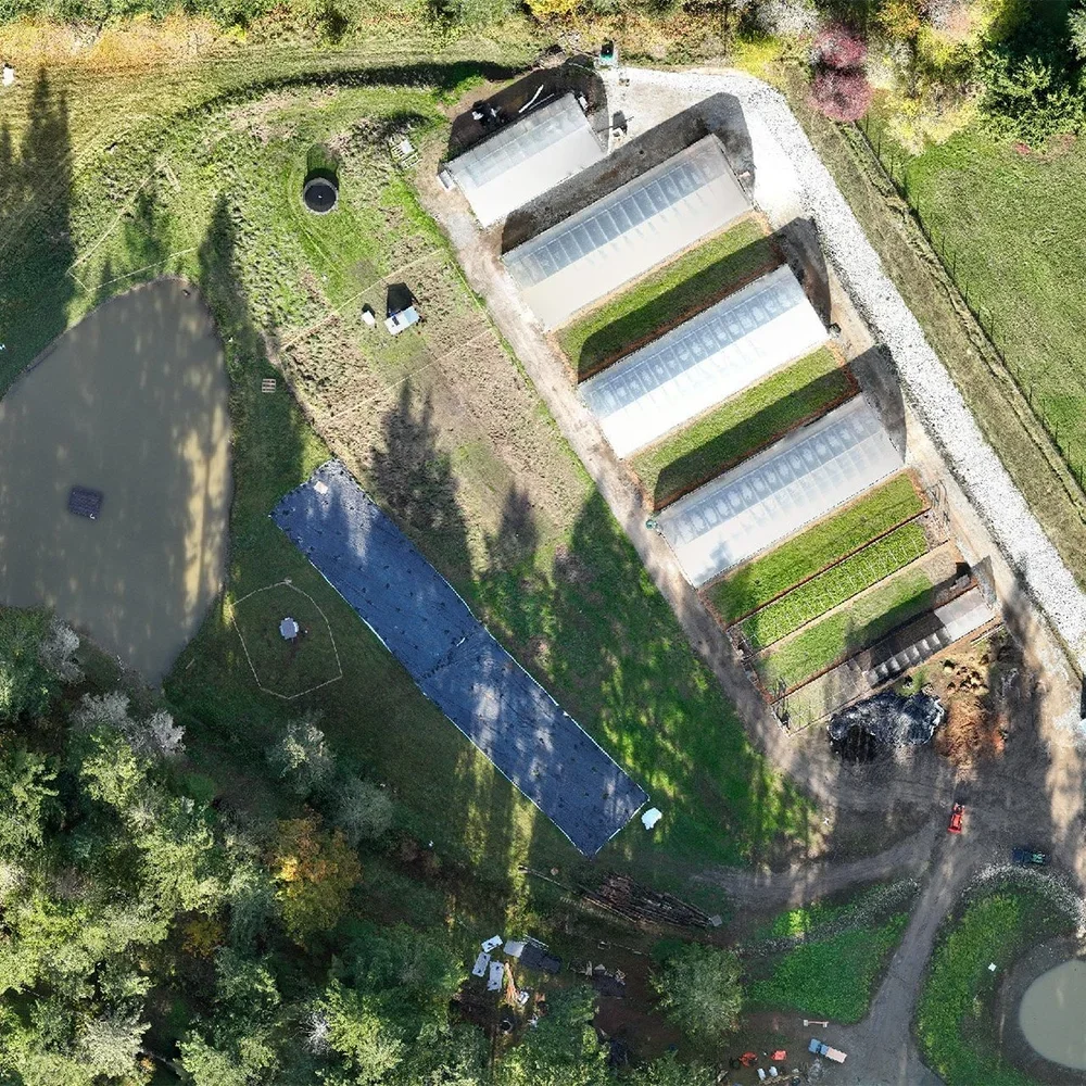
PROJECT TRACKING
Track progress, make measurements & spot potential kinks with high-resolution orthophotos.
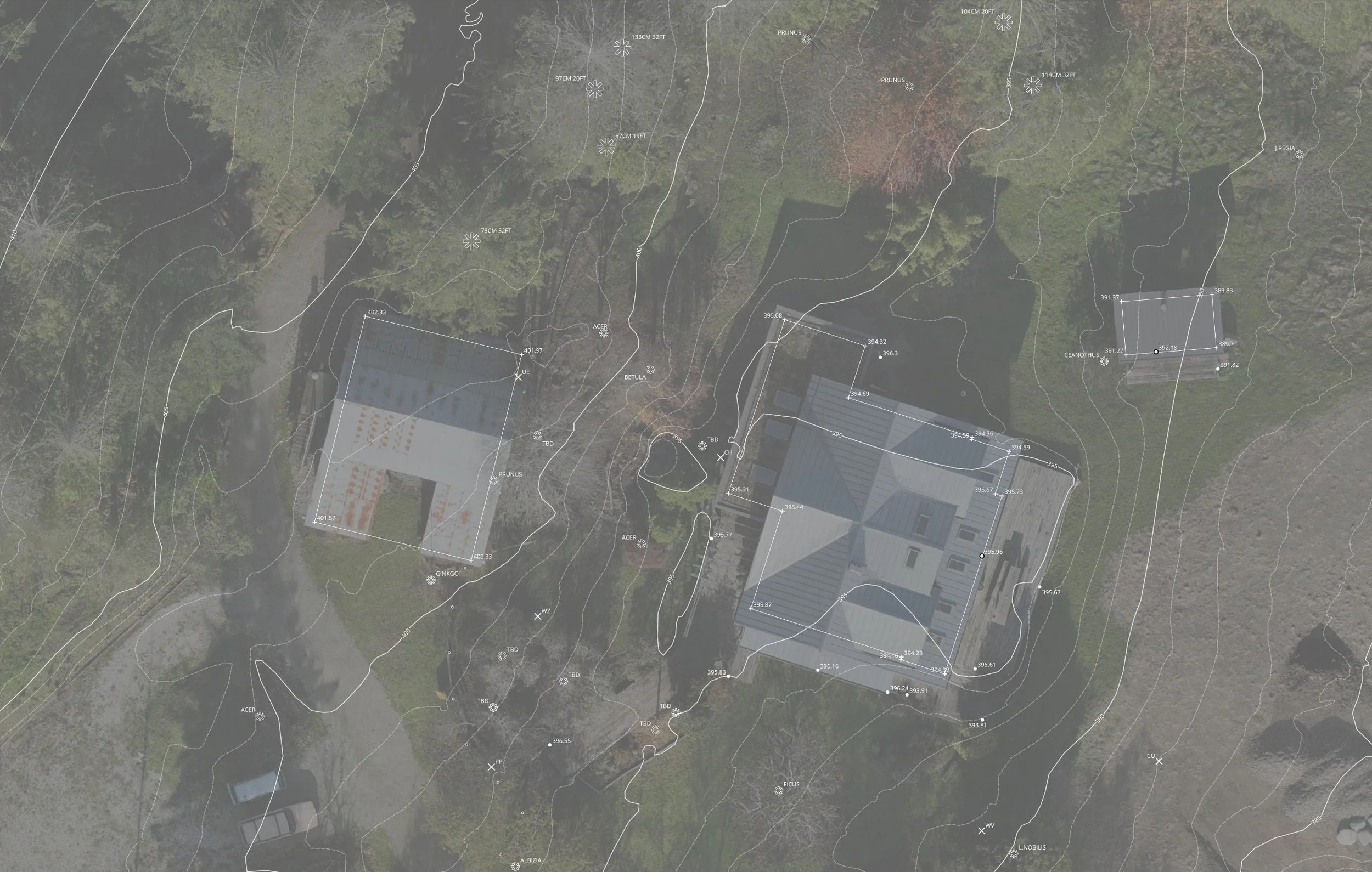
SITE SURVEYS
GNSS point mapping of existing infrastructure, elevations & vegetation.
Mapping and Media Packages
Our drone pilots are certified for 'Advanced Operations’ by Transport Canada
We offer three ‘off the shelf’ mapping packages. We can also build one from scratch, just ask.
DRONE MAPPING PACKAGES
-
Great for visual inspections, project tracking, event maps & real estate where relative accuracy is all that’s needed.
OUTPUTS:
Orthomosaic Image: High-resolution map with 2.5 cm/px GSD or under. (.geoTIFF)
Photos & Videos: (.jpeg .mp4)
-
We utilize an RTK/PPK workflow to collect highly accurate geographic positional data. This is necessary for creating site plans, measuring stockpiles, building 3D models & integrating existing geo-referenced survey data.
OUTPUTS:
Orthomosaic Image: High-resolution map with 2.5 cm/px GSD or greater. (.geoTIFF)
Elevation Contours: At 1ft, 2ft & 3ft intervals (.kmz .shp)
NOTE: Interpolation will be necessary in areas with > 60% forest cover to create bare earth DEM’s. Accuracy of elevation contours may vary in forested areas.
Digital Terrain Model, DTM (.geoTIFF)
Digital Surface Model, DSM (.geoTIFF)
OPTIONAL ADD-ONS:
Optimized Elevation Contours with reduced noise & artifacts (.kmz .shp)
3D Model (.obj)
Point Cloud (.laz .las)
Photos & Videos: (.jpeg .mp4)
-
Multiple ground control points (GCP’S) are placed on site for projects requiring the highest level of positional accuracy.
OUTPUTS:
DRONE PHOTOGRAPHY PACKAGES
We offer a wide variety of high-quality media packages to fit your project needs.
-
High-resolution imagery
Outputs: 10 aerial photos optimized for web and print (.jpeg)
Pricing is site and project dependent.
-
High-resolution imagery and graphics
Outputs:
10 aerial photos optimized for web and print (.jpeg)
2 aerial photos with labelled points of interest (.jpeg)
3 aerial photos highlighting property boundary (.jpeg)
Pricing is site and project dependent.
-
High-resolution imagery, graphics, and video
Outputs:
15 aerial photos optimized for web and print (.jpeg)
2 aerial photos with labelled points of interest (.jpeg)
3 aerial photos highlighting property boundary (.jpeg)
1-minute video montage of the property with licensed background music (.mp4)
Add-ons:
Orthomosaic map with 2.5 cm/px GSD or under (.geoTIFF)
Pricing is site and project dependent.